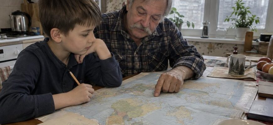
Geography becomes easier to explore when a child can connect a map with a place they know. A drawing of their own room introduces symbols and location before a world map introduces unfamiliar names. From there, you can build toward routes, a globe and questions about countries.
These geography activities for kids focus on using representations rather than memorizing a long list. Begin with one familiar space and a purpose: helping someone find an object, describing a route or comparing what two maps show. Keep information about actual places connected to reliable, current sources.
- Draw a room from above
- Create and use a legend
- Describe a route in steps
- Add a simple grid
- Move from a room to a local map
- Explore a globe and a world map
- Make a country notebook without stereotypes
- Turn the map into a family game
- FAQ
- Where should we start geography with a young child?
- Does the first map need accurate scale?
- What is the easiest way to explain a legend?
- Should children memorize capitals first?
- How do we avoid cultural stereotypes?
- Can we use online maps?
Draw a room from above
Choose a simple room and walk around it together. Notice large features such as the door, table and bed. Ask how the room might look to someone viewing it from above, then draw a rough outline on paper.
Use rectangles or other simple shapes for furniture. The drawing does not need artistic detail. Its purpose is to show where things are in relation to one another. Label the door so the child has an easy reference point.
Place a toy in the room and mark its location on the drawing. Ask another person to find the toy using the map. If they become confused, compare the drawing with the room and revise the unclear part. The test gives the map a practical function.
Create and use a legend
A legend explains what symbols on a map mean. Choose a few clear symbols: a rectangle for a table, a star for a hidden object and a line for a route. Put the meanings in a small box beside the map.
Ask the child to decode a symbol using the legend before adding more. Then let them invent a symbol and explain it. Discuss why a map becomes difficult if one symbol changes meaning halfway through.
Compare two maps that use different symbols for the same feature. The child can see that a symbol is an agreed representation, not the feature itself. Reading the legend matters more than assuming every map works identically.
Describe a route in steps
Make a route from the room's door to the hidden toy. Use landmarks and direction words: pass the table, turn toward the bookshelf and stop beside the chair. Let your child try the route and check the instructions.
Take turns being the mapmaker and traveler. If a step is unclear, ask which detail would help. Avoid changing the route while the other person is following it; revise the instructions between attempts.
For an extra challenge, draw two possible routes and compare them. Which passes a particular landmark? Which avoids an obstacle? Do not assume the shortest route is always the most useful when the goal includes another condition.
Add a simple grid
Draw a grid over your room map and label columns with letters and rows with numbers. Place an object in one cell and name its coordinate, such as B2. Ask the child to find another cell using the labels.
Make sure both of you agree on how the grid is labeled. A reference printed beside the map prevents unnecessary confusion. Begin with a few cells before using a larger grid.
A grid can connect geography to other activities. A beginner chess board also uses locations, though its labeling conventions should be explained separately. The shared idea is describing a position clearly enough for someone else to find it.
Move from a room to a local map
Look at a simple map of a familiar park or neighborhood with an adult. Identify a landmark your child knows and compare the symbols with the real place. Discuss which features appear and which small details have been omitted.
Plan a short route together before going out, then use normal adult supervision and local conditions during the walk. A child's drawing is a learning activity, not a substitute for safe route planning or a reliable navigation source.
Afterward, mark where the map was helpful and where you needed more information. Add a missing landmark or clearer label to your own version. This shows that maps are made for particular purposes and can be improved.
Explore a globe and a world map
A globe represents Earth as a sphere; a flat world map represents it on a flat surface. Compare a familiar area on both. Ask what is easier to see or handle in each format before discussing detailed geography.
Point out land and water using the legend or labels in the actual resource. Explain that map colors do not always mean the same thing. One map might use colors for elevation, another for political boundaries.
Look at the map's title, date and purpose. Boundaries, place names and other information should be checked with a current source when accuracy matters. Do not build a lesson around an unlabeled image simply because it looks attractive.
Make a country notebook without stereotypes
Choose one country your child is curious about. Create a page with its name, location on a map, a selected city or landscape and one question to investigate. Record the source of the information and check any facts you intend to present.
Explore variety within the country. A photograph of one street or family does not describe everyone who lives there. Ask what the image actually shows and what it leaves unknown. Avoid statements suggesting that all people in a place eat, dress or behave in one way.
You can compare two locations using a specific question, such as what kinds of landscapes appear in the sources. Keep the comparison grounded in the examples instead of ranking whole countries or cultures.
Turn the map into a family game
Hide a small object in an agreed area and create a map with a legend and route clue. Let someone follow it, then invite the child to improve the map based on that experience. A working map is a satisfying result of careful observation.
For another round, give the mapmaker a condition: the route must pass two landmarks, or the legend must use only three symbols. A clear design constraint creates a reasoning challenge without requiring many new place names.
IQClass courses offer additional topics to explore. Pair a digital geography activity with your own map or notebook, and connect it with curiosity activities so new facts lead to questions and comparisons.
FAQ
Where should we start geography with a young child?
Start with a familiar room and a simple map that serves a purpose. The child can compare it with the actual space, interpret symbols and use it to find an object.
Does the first map need accurate scale?
No. Begin with relative locations and explain that the drawing is approximate. Introduce measuring and scale when they become relevant to a clearer or more precise map.
What is the easiest way to explain a legend?
Use a small set of symbols and show what each represents in the room. Ask the child to read a symbol and locate the corresponding feature. Then let them create a symbol of their own.
Should children memorize capitals first?
Capitals can be explored within a particular topic, but they are not the only starting point. Using maps, understanding location and asking questions about places gives names a meaningful context.
How do we avoid cultural stereotypes?
Use specific examples and describe their limits. Compare different images and sources from a place, and avoid treating one photograph or tradition as a description of every person there.
Can we use online maps?
Yes, with adult support and attention to the source, date and purpose. Use them for a clear task and avoid sharing personal location information in a public learning project.